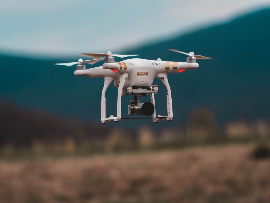
One of the emerging technologies in the construction industry is the use of unmanned aerial vehicles (UAVs) or drones. In recent years, the use of UAVs in the construction industry is becoming more commonplace and a variety of applications for these devices have started to emerge. Some of the applications of UAVs in the construction industry include project monitoring, project status reporting, surveying, generating maps, and inspection activities.
UAVs significantly facilitate site monitoring of large construction projects by capturing real-time or as-built data. Additionally, as Liu et al. stated in their article, pictures, and videos that UAVs capture help to collect progress data, monitor and control safety practices, and perform inspection, especially for the areas that are hard-to-reach and are not easy to be inspected (as cited in Ham et al., 2016). Some examples of the tools that can be attached to UAVs include high-resolution cameras, RFID readers and laser scanner (Moud et al., 2018).
Despite their several advantages, UAVs may expose their users to some negative risks. In addition, the use of UAVs may be challenging under certain circumstances. For real-time project monitoring and control, UAVs need to collect large amounts of visual data in one single flight. This collected data then needs to be processed, analyzed, and linked to construction elements and activities. Some of the other challenges that users may encounter in using UAVs include independent path planning, the security of UAVs and their in-flight information that is collected, and data collection configuration management to ensure all needed information has properly been captured.
UAVs have also direct and indirect safety hazards for construction site workers. An example of direct hazards of UAVs for construction work include objects that may fall as the result of the collision of a UAV with an element onsite. UAVs may also pose hazards on-site in an indirect manner such as distracting workers due to the movement and sound of UAVs on a construction site (Moud et al., 2018, Ham et al., 2016).
Overcoming technical and managerial challenges that are associated with the use of UAVs in the construction industry requires the use of inter-disciplinary approaches that focus on the applications of these devices in construction and evaluation of particular uses of these devices in construction-related activities. As an example, UAVs are able to recognize the key construction elements and some of their attributes based on a 3D model of a construction site or a facility. Incorporating the data that UAVs collect on a construction site into Building Information Modelling (BIM) platforms may significantly facilitate the process of data analysis, may help reduce safety hazards and/or negative risks associated with using UAVs.
Unmanned aerial vehicles (UAVs) or drones are increasingly used in the construction industry for project monitoring, project status reporting, surveying, generating maps, inspection activities, and many other applications. A familiarity with the capabilities of these devices and assessing both the threats posed by these devices and the opportunities that they bring about are important to ensure these devices are used in the most effective manner on construction sites.
References
Ham, Y., Han, K. K., Lin, J. J., & Golparvar-Fard, M. (2016). Visual monitoring of civil infrastructure systems via camera-equipped Unmanned Aerial Vehicles (UAVs): a review of related works. Visualization in Engineering, 4(1), 1.
Moud, H. I., Shojaei, A., Flood, I., Zhang, X., & Hatami, M. (2018, July). Qualitative and Quantitative Risk Analysis of Unmanned Aerial Vehicle Flights over Construction Job Sites. In Proceedings of the Eighth International Conference on Advanced Communications and Computation (INFOCOMP 2018), Barcelona, Spain (pp. 22-26).
Author: Maryam Mirhadi, Ph.D., PMP | CEO and Principal Consultant

